

The Indian Ford markers connect a Lehi trail walk with an older river crossing
The National Park Service describes a crossing used by Native people before it became part of nineteenth-century transport and communications routes.

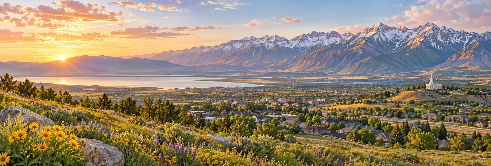
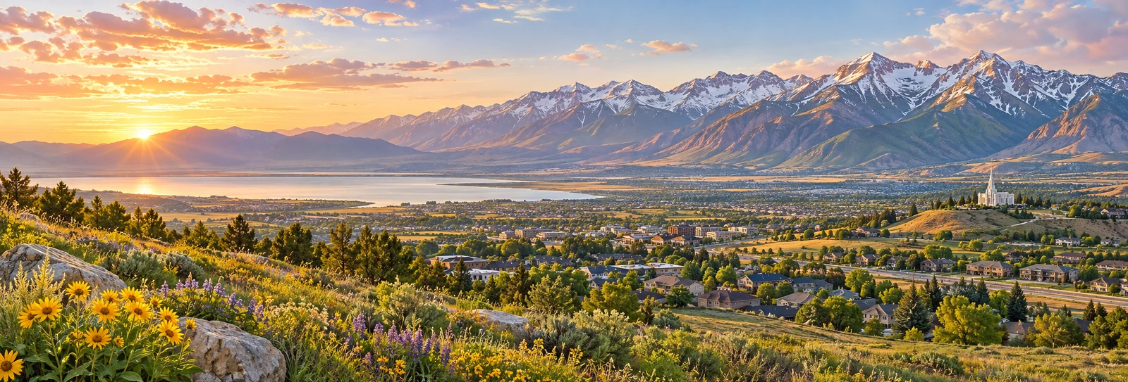
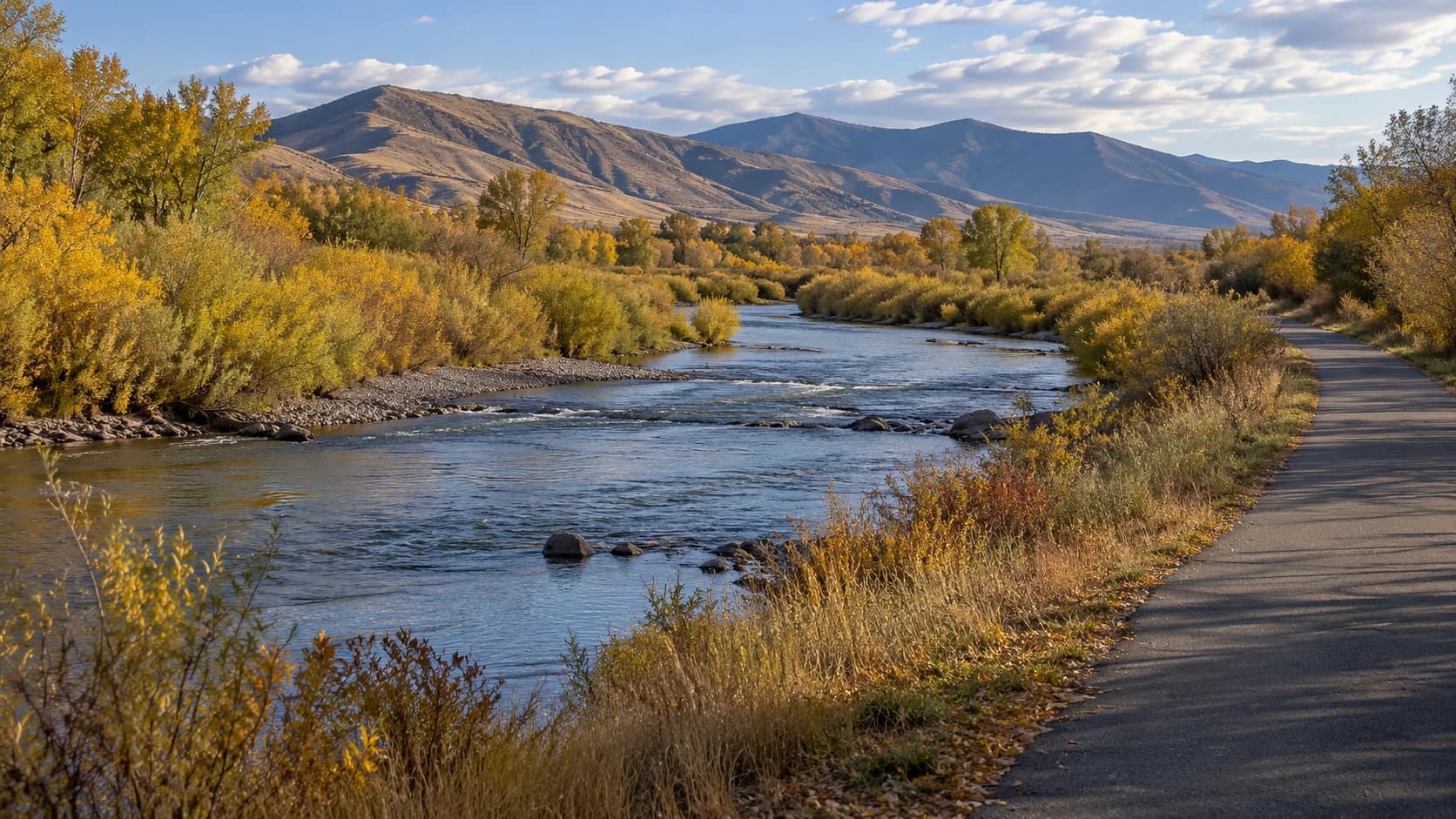
Image: AI-generated illustrative photograph of an anonymous Utah river corridor; not Indian Ford, its historic crossing, markers or the exact Jordan River Parkway route.
A quiet trail beside a river can pass through a much busier history. The National Park Service identifies the Indian Ford and Ferry Crossing in Lehi as a shallow Jordan River crossing traditionally used by Native people, later used by the Pony Express and other nineteenth-century routes.
Two markers beside the Jordan River Parkway identify the historic location. The NPS describes access from Thanksgiving Point Trailhead Park, with the markers about two miles north along the public path, or roughly four miles round trip. Check current route conditions and choose a distance appropriate for your group.
Sponsored
The historical account connects the crossing with the Pony Express, stagecoach traffic and the transcontinental telegraph. It also explains that a nearby ferry served travelers during high water. Read those transport stories alongside the earlier Indigenous use of the place, rather than treating the river’s history as beginning with mail delivery.
The NPS identifies the west bank as private property, so remain on established public access and do not attempt a river crossing. Use the markers as a reason to pause and consider what water made possible and difficult for different people. The landscape can invite reflection without needing a reenactment or a claim that today’s path follows every historic movement.


Discuss this news
Your draft stays here while you sign in. Be respectful and keep it local.
No comments yet.